 |
|
|
With this years Mountain Marathon (the OMM 2009) just round
the corner we thought we'd better get some navigation training and time on the
fells.
We got some extreme weather practice too just for good luck! Got away early
Saturday 22/08/09 and went straight to our starting point at Wet Sleddale
reservoir.
This was the day 1 finish of the 2006 OMM (A Class) which started
from Pooley Bridge. We never made
it this far in the race, dropping down to wild camp near Haweswater.
We weren't too far from the finish (couple of hours) but after 8 hours it was
getting dark and we'd both had enough.
Today was a real struggle to get out of the car. It was
cold and wet from the first minute with gale force winds and driving rain.
Looking back though it's just getting out that's the problem, everything's fine
after that and the things you see make it all worthwhile. Wild fox chasing
sheep, wild deer running on the horizon and a strange spiky caterpillar....
One of the reasons we keep doing the OMM is that it forces you out, out of your comfort zone. It makes you appreciate all life's little luxuries, like warm houses, hot water and a soft bed. Another reason is that I'd like to actually finish one one day....but that'll be this year won't it....!

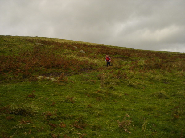
Surprised to see anyone - weather worse than it looked here!
Although someone believed the weather forecast that said it'll soon be brightening up...
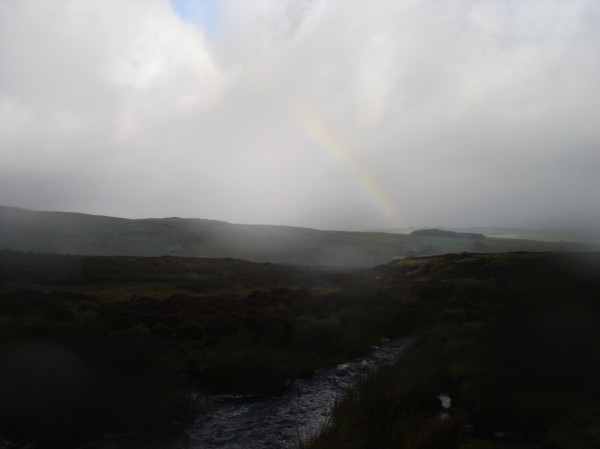
The thing about rainbows, you need sun and rain, not sure where the sun was....

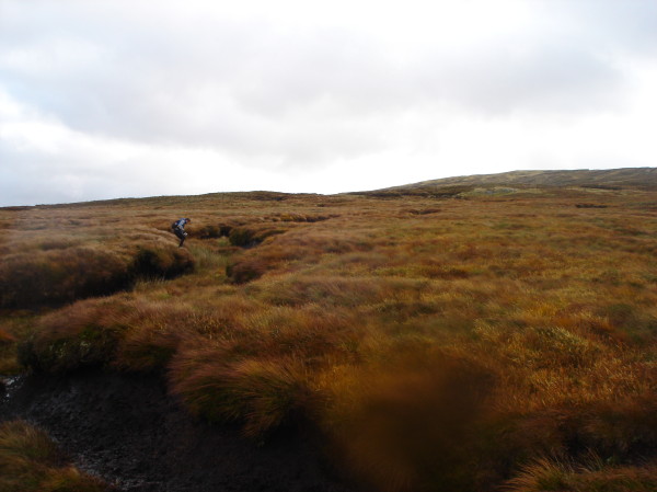
The terrain north of Sleddale reservoir is boggy at the best of times, when it rains like today there's nowhere for it to go and it just pours off the fell..
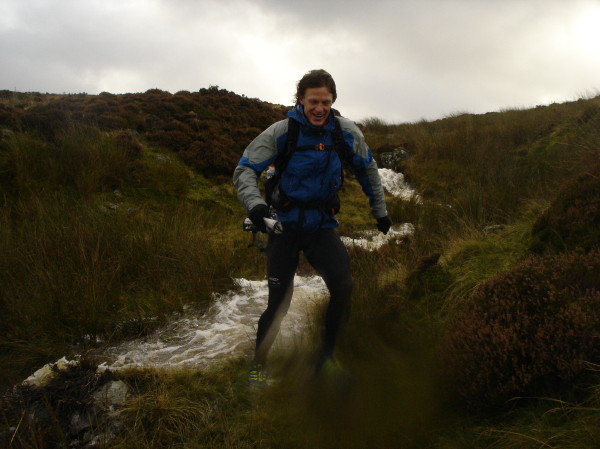

Finally gave in to the weather as I was getting really cold.
All the map work was slowing us down and the water was freezing, but the worse
thing was the heather sandpapering my shins!.


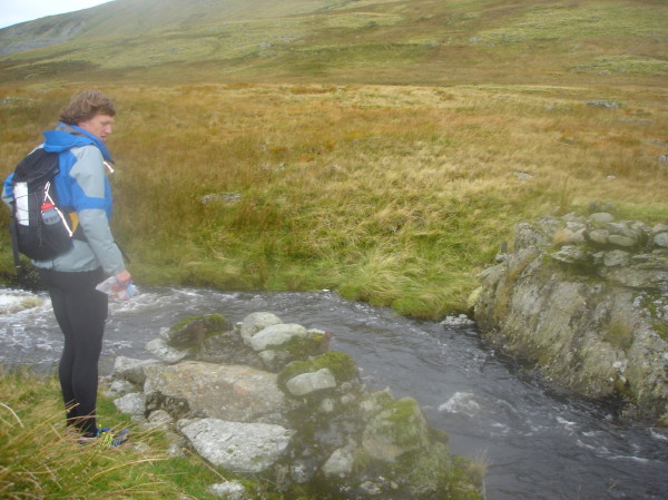
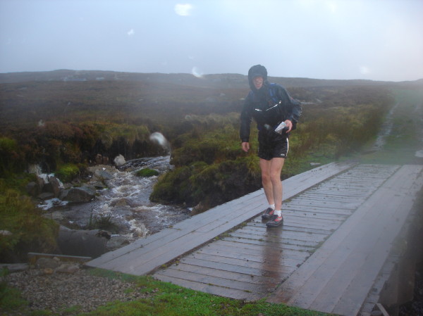
Don't you hate it when you navigate to the exact spot of a marked bridge only to find it's not there..?.
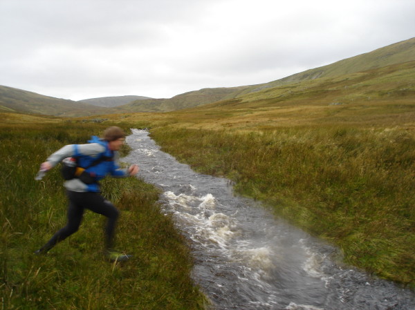
..long jump practice to get across...
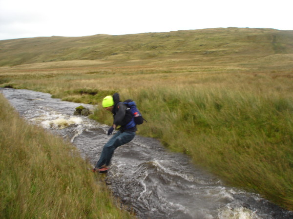

Funny that; no bridge at the last point, and just upstream there's this thing that's not on the map....
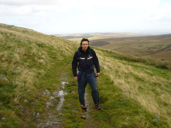
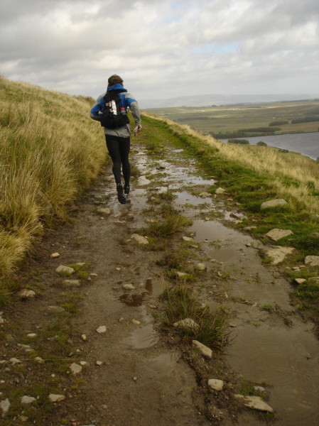
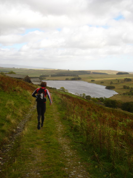
Running back on good tracks.
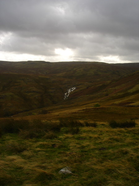

Looking South towards Sleddale Pike, the area we just spent the morning in,
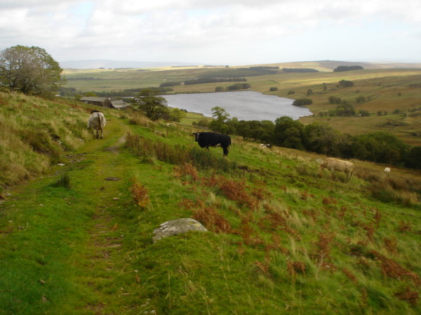
Descent to Sleddale Hall (Crow Crag!).

Nice cup of coffee waiting at the end of that reservoir!
|
|